eHealth Africa, in partnership with the Centre for Dryland Agriculture (CDA) at Bayero University, Kano (BUK), has completed the pilot phase of a new geospatial curriculum for Health Professionals.
The initiative, which also received strong support from the Kano State Ministry of Health and the State Primary Health Care Board, is designed to strengthen the use of Geographic Information Systems (GIS) in health programmes and improve health service planning and delivery across Kano State.
Supported by the Umbrella Fund, the project is part of a broader effort to institutionalise GIS within the health sector. It focuses on equipping frontline health workers, programme officers, and health planners with practical skills to collect, analyse, and use location-based data for more informed decision-making.
Health challenges are inherently geographic, occurring across communities, facilities, and often hard-to-reach areas. However, many health decisions are still made without the geographic context needed to fully understand where services are most needed or where gaps exist.
This initiative aims to bridge that gap by making geospatial tools a routine part of health service delivery. The curriculum is structured to strengthen key health system functions, including service delivery, immunisation microplanning, disease surveillance, and emergency response.
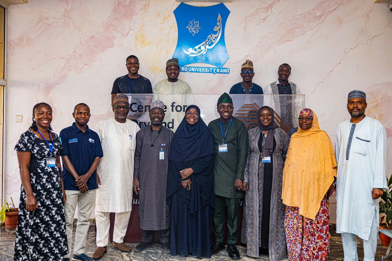
The four-day pilot training, held from March 4–7, 2026, at the Centre for Dryland Agriculture in Bayero University, Kano, brought together 41 participants from government institutions and partner organisations.
Participants were trained across three levels: “Basic, Intermediate, and Advanced”, covering practical areas such as map reading, GPS use, digital data collection, spatial analysis, and the application of GIS tools in disease surveillance, immunisation planning, and resource allocation.
As Comfort Audu, Project Manager at eHealth Africa, observed: “The initiative is timely, bringing together participants from various Ministries, Departments, and Agencies, including NAFDAC, Veterinary Services, Digital Health, Environment, and Food and Drug regulatory bodies. This reflects the growing importance of the One Health approach”.
Victor Idakwo, Associate Manager, GIS & Data Analytics at eHealth Africa, explained the thinking behind the project: “Before this time, we had geospatial learning and training done in silos. This informed the development of a standardized curriculum, delivered in partnership with an accredited university in Nigeria.
Instead of having training across different organisations, all the organisations can now come to a single place to receive the training. This way, we have synchronised training across the board and standardised learning as well”.
For Bayero University, the partnership goes beyond a single training. Professor Murtala Mohammed Badamasi, Deputy Director at the Centre for Dryland Agriculture, noted: “Bayero University was willing to institutionalise this particular curriculum.
“We developed the curriculum together. And then we are now institutionalising it as part and parcel of the courses that will be run by the Centre for Dryland Agriculture.”
He added, “This partnership enables stronger collaboration and more practical delivery of solutions. This is where the partnership between non-governmental organisations and academia allows for the cross-fertilisation of ideas.”
Participants also shared strong feedback. Bashir Abubakar Abdullahi, a Data Analyst at the State Emergency Operations Centre, said: “This programme has really opened my eyes to how I see data. Geospatial data now has much greater meaning to me. When you use it, you gain deeper insight.” He added that the training “guides us on where best to allocate resources. We can also monitor disease hotspots and cold spots using GIS technology.”
Kasim Ibrahim of the National Agency for Food and Drug Administration and Control (NAFDAC), who joined the Basic level, remarked: “Before this programme, I had no prior knowledge. The only thing I used partially was Google Maps.”
After the training, he noted, “It has significantly shown me that with these tools, we can get better data and enhance field activities. Before now, we used analogue methods, paper and pen, which are prone to many errors.”
